 vesseltracker.com
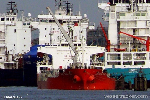
Vessel EVER REACH IMO: 9083940, MMSI: 667001683 Chemical Tanker
UTC, 25.55755, 121.55615, course: -1, speed: 0.3
UTC, 25.54586, 121.53775, course: -1, speed: 0.8
2026-02-13 09:58:51 UTC, 25.54473, 121.51457, course: -1, speed: 0.3
Live AIS position:
UTC. 25 nm N of Bali),
updated 2026-02-13 09:58:51 UTC.
Find the position of the vessel EVER REACH on the map. The latter are known coordinates and path.
marine traffic ship tracker show on live map
The current position of vessel EVER REACH is 25.54473 lat / 121.51457 lng. Updated: 2026-02-13 09:58:51 UTCCurrently sailing under the flag of Sierra leone
EVER REACH built in 1994 year
Deadweight:
11559 tDetails:
Last coordinates of the vessel:
UTC, 25.56872, 121.54375, course: -1, speed: 0.8UTC, 25.55755, 121.55615, course: -1, speed: 0.3
UTC, 25.54586, 121.53775, course: -1, speed: 0.8
2026-02-13 09:58:51 UTC, 25.54473, 121.51457, course: -1, speed: 0.3